Storm
an AI-powered flood risk platform that scores real-world locations from street-level imagery.
built with Kacem Ettahali and Diego Rico at HackRice, fall 2025.
React · Vite · Redux Toolkit · Leaflet · Node.js · Express · Python · PyTorch · Mask2Former · OpenCV
why i built it
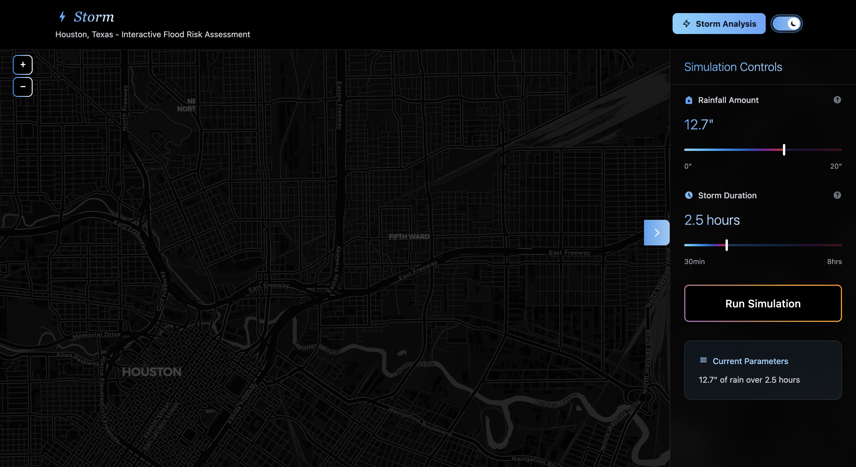
Storm analyzes flood risk for any location by combining computer vision with environmental data. it pulls four-directional street view imagery, runs it through a segmentation model to classify surfaces as pavement, greenery, or other, and combines that with terrain slope, rainfall intensity, and drainage data into a weighted risk score — visualized on an interactive map with AI-generated mitigation recommendations.
selected details
- scores flood risk with a weighted model combining surface permeability, terrain slope, rainfall intensity, and drainage infrastructure
- classifies street-level surface coverage (pavement, greenery, other) using a Mask2Former segmentation model
- visualizes results on an interactive map with heat-map overlays and AI-generated mitigation recommendations
- pulls live data from Google Maps, Street View, Elevation, and OpenWeather APIs for any coordinate worldwide
how it works
- fetches four-directional street view imagery for a given coordinate
- runs a Mask2Former segmentation model (trained on Mapillary Vistas) to classify surface coverage
- combines surface data with terrain slope and live rainfall data into a weighted risk score
- generates mitigation recommendations and renders results as an interactive heat map